Commissioned By
Additional Funding
Methodologies
Forums
Exhibitions
On the morning of 16 March 2011, a jirga was convened at Datta Khel in North Waziristan, to debate the ownership of a local chromite mine. A jirga is a traditional community gathering that meets to resolve disputes—in this case, the dispute was over payment for mining rights.
The meeting took place in an open field near the Datta Khel bazaar, and lasted two days. It consisted of two adjacent circles of men seated on the ground.
On the first day of the meeting, a missile fired from a US drone killed 4 or 5 people elsewhere in the vicinity of Datta Khel. As is common with drone strikes in North Waziristan, very little is known about the circumstances of the attack.
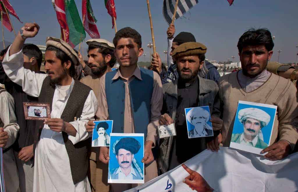
At approximately 10:45am the following day, missiles fired from a US drone struck the site of the jirga. At least forty-three civilians were immediately killed.
The strike caused outrage in the region. The Pakistani military had given authorisation just ten days previously for the jirga to be convened, and members of the local tribal police were also present. The drones loitering over Datta Khel for two days must have observed the jirga during the previous day.
It is not clear, therefore, why a gathering like this was only targeted in its second day.

Methodology
Methodology
Identifying the location of the strike itself was particularly challenging, due to the lack of photographs or other footage, limited access to survivors, conflicting press reports, and the fact that the strike occurred in an open area, leaving minimal impact damage that can revealed through satellite image analysis.
We first identified key structures mentioned in witness statements. These statements were cross-referenced with other information and compared with satellite imagery before and after the strike. Using satellite images from 23 January 2011 and 5 April 2011 we were able to identify changes to the scene.